- Data Basin |
- Maps |
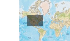
- HydroSHEDS of North America
HydroSHEDS of North America
Nov 10, 2010
Created by
Jeremiah Osborne-Gowey

Recommended by Jeremiah Osborne-Gowey
- Description
- A collection of WWF HydroSHED datasets for North America. Datasets represent 15- and 30-arc second resolutions of drainage direction and watershed boundaries
- Location
- Credits
- World Wildlife Fund (WWF), USGS, Jeremiah Osborne-Gowey
- Use Constraints
 This work is licensed under a Creative Commons Attribution 3.0 License.
This map is visible to everyone
Bookmarked by
2 Members
- This map was used to create these maps
-
About the Map Author
Jeremiah Osborne-Gowey
Aquatic/Landscape Ecologist with Conservation Biology Institute
Jeremiah Osborne-Gowey is an aquatic/landscape ecologist with more than 15 years of Federal, State, and educational natural resource experience. His experience includes aquatic and terrestrial species habitat survey and inventory, invasive-species monitoring, natural resource impact analyses, public...